


Star, Lamar County, Alabama
About
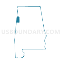
Outline

Summary
| Unique Area Identifier | 522180 |
| Name | Star |
| County | Lamar County |
| State | Alabama |
| Area (square miles) | 10.53 |
| Land Area (square miles) | 10.53 |
| Water Area (square miles) | 0.00 |
| % of Land Area | 100.00 |
| % of Water Area | 0.00 |
| Latitude of the Internal Point | 33.65818100 |
| Longtitude of the Internal Point | -88.18576380 |
Maps

Graphs
Select a template below for downloading or customizing gragh for Star, Lamar County, Alabama


Neighbors
Neighoring Voting District (by Name) Neighboring Voting District on the Map
- Fernbank-Wilson, Lamar County, AL
- Hightogy-Ridge, Lamar County, AL
- Molloy-Betts, Lamar County, AL
- Mt. Olive-Guin, Lamar County, AL
- Trull, Lamar County, AL
- Vernon West, Lamar County, AL